'Brigadier Fletcher' Mapping tournament
-
I'd like to ask how to make sure that map is compatible with LOUD and BAR? What are the requirements?
-
There are no requirements to make them compatible with them. The license merely allows someone from the BAR or LOUD community to use your idea and content (heightmap / stratum layers) and re-publish it there with the same license, crediting you.
-
@jip said in 'Brigadier Fletcher' Mapping tournament:
(1) The submission must be 20x20 naval-based map and it must use the full playable area
Probably should explain a bit more what this exactly means. Would it mean that bermuda locket isnt counted as full playable area because of the dead space around the land mass (Even though it still tends to be used for raiding)? Or does it simply mean that it has to be 20x20 and not 18x18 (which would technically count as 20x20)
-
Also, what exactly is the theme? Just UEF in general I'd assume?
-
Signing up.
-
There's no need to sign up, once the details are finalized there will be a submission deadline
-
Signing up.
-
@jip is this contest still going to happen?
-
Yes, but I did not have the time to finalize it yet.
-
The 'Brigadier Fletcher' mapping tournament is open for submissions until the 12th of November, 2023!
Have fun and good luck for those that compete

-
I had an old map idea that would suit the requirements, signing up
-
No need to sign up in front - as long as you post your submission before the deadline has passed

-
@thecrimsonknight said in 'Brigadier Fletcher' Mapping tournament:
Also, what exactly is the theme? Just UEF in general I'd assume?
I've not responded to this I think, apologies! Yes; it is a general UEF theme. The goal is that when someone looks at the map that the observer can clearly identify the planet as being part of the UEF faction.
-
Making my post early because I'm unsure how busy I'll be during November.
Adaptive Fangtooth Islands
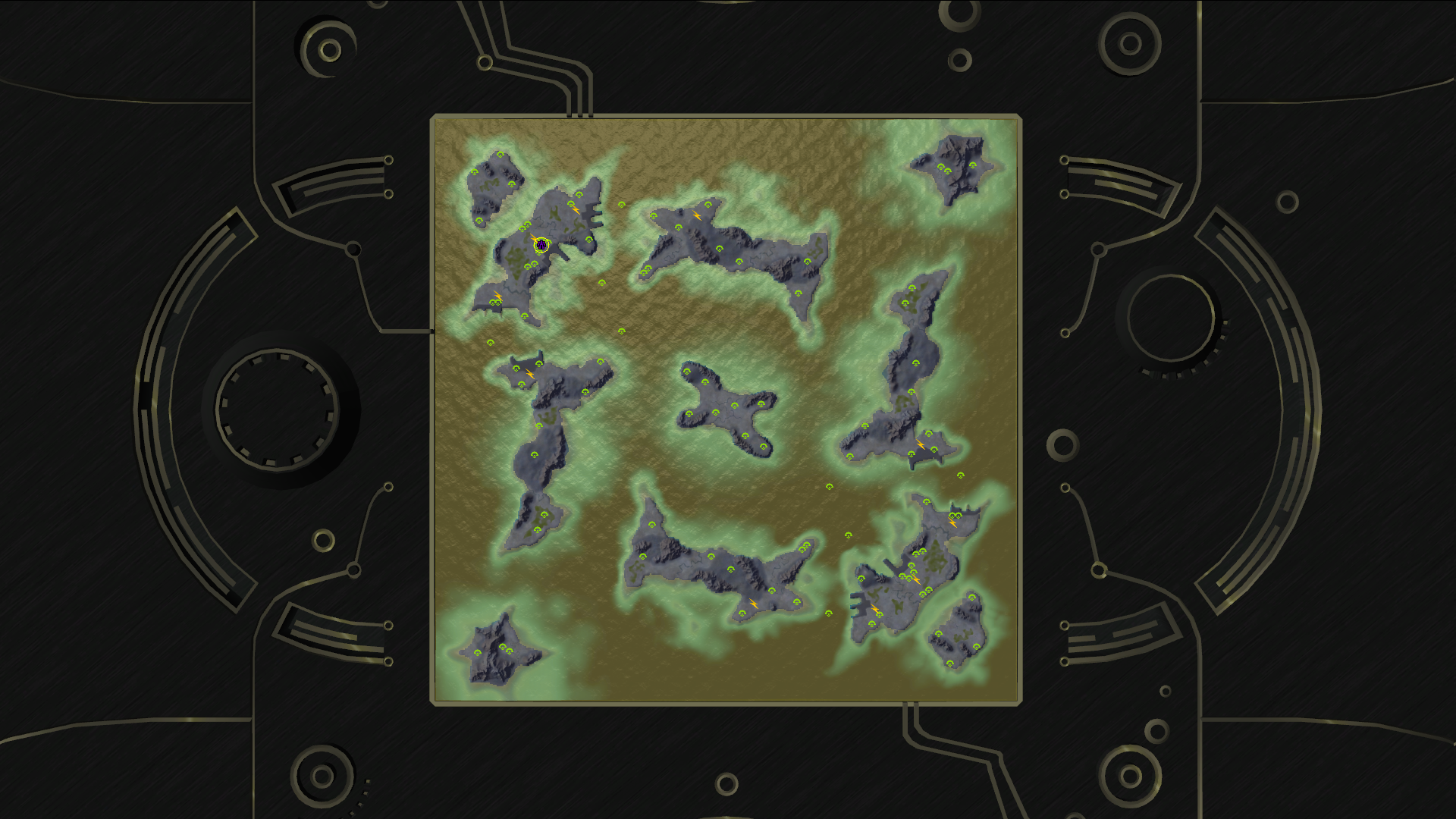
The idea was to create a navy-dominant map with strong land elements (air was always going to be relevant due to map size). Here we can see this idea manifested in multiple long islands that can be fought over by land but cut off by sea. Most of the mass on the map is vulnerable to navy, so that secures it as the primary theatre, but the capability of hover vehicles to navigate the numerous ridges should not be underestimated.
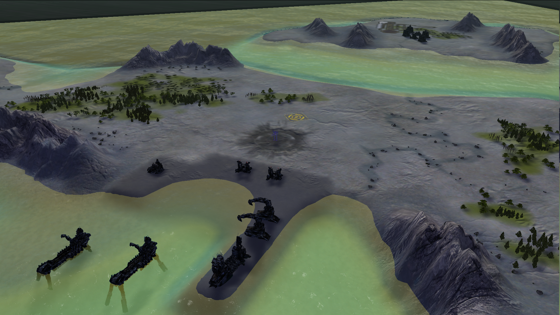
Features considerable Adaptive mex spawning for meaningful games regardless of player configuration.
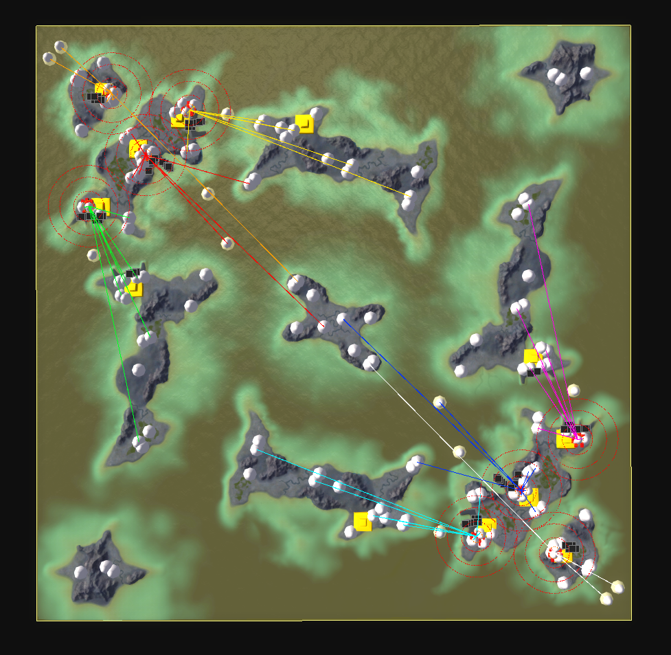
Note: The map is still actively under development, do not take the version currently on the vault as the final product until the week of the deadline.
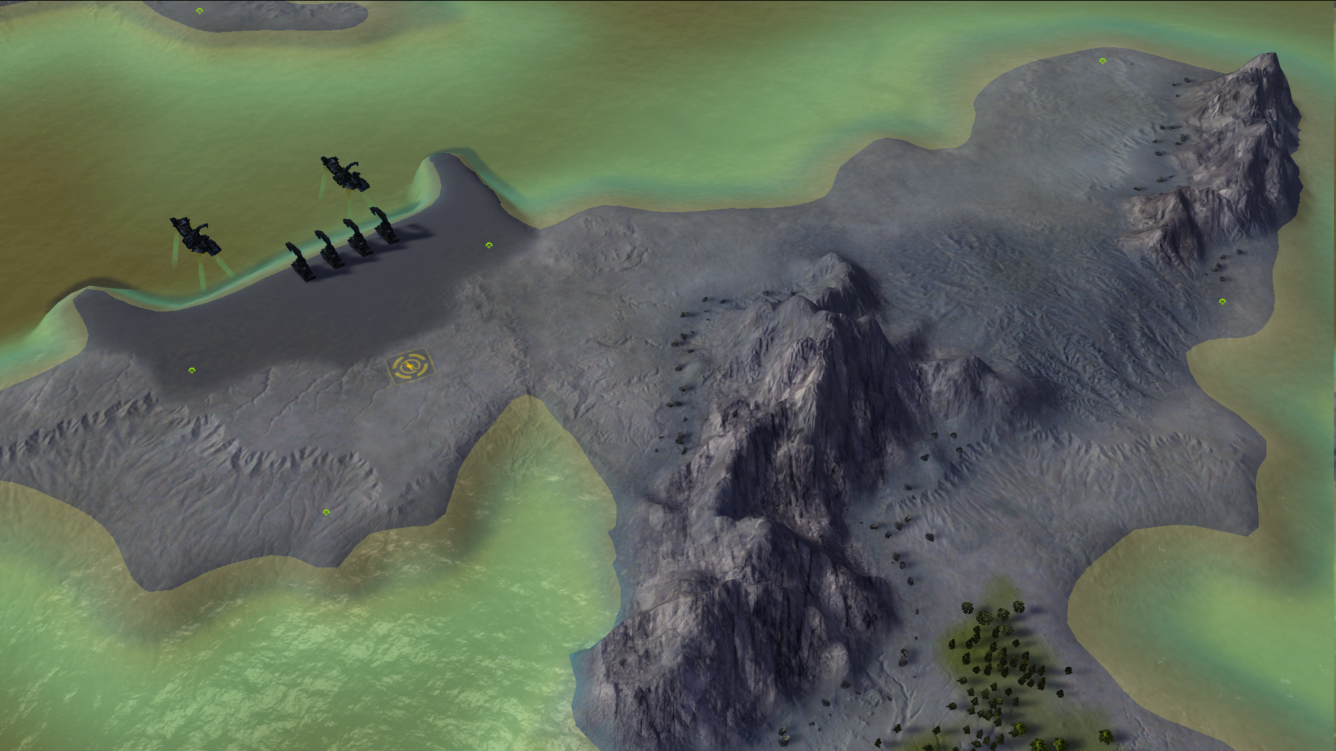
Thanks to Jip for hosting.

-
Humble reminder that the deadline is in roughly two weeks worth of time

-
@jip said in 'Brigadier Fletcher' Mapping tournament:
You can use the following lists as a rough example to what we use to deduct points for this section. If you'd like to read more about AIs and what they may find difficult then you can read up about it on the wiki
Is this page a 404 for anyone else?
If it can't be fixed soon, then I guess I'll need my questions answered here instead.
-
How do I make my navmesh take up less space? currently it's at 36.9Mb, and I know I need it below 30, but how?
-
How do I check for the generated expansion markers?
-
How do I check for the generated large expansion markers?
-
What do you mean when you say "legacy pathing/AI utility markers?"
-
What defines a "small plateau?" Is it a T1/T2 transport struggling to drop an engie? or is there an actual measurement we can use?
Thanks!
-Crimson -
-
@thecrimsonknight said in 'Brigadier Fletcher' Mapping tournament:
Is this page a 404 for anyone else?
I've updated the link.
@thecrimsonknight said in 'Brigadier Fletcher' Mapping tournament:
How do I make my navmesh take up less space? currently it's at 36.9Mb, and I know I need it below 30, but how?
Usually it is because of a noisy heightmap. Seton's Clutch for example is relatively clean and only consumes about 20 mega bytes.
@thecrimsonknight said in 'Brigadier Fletcher' Mapping tournament:
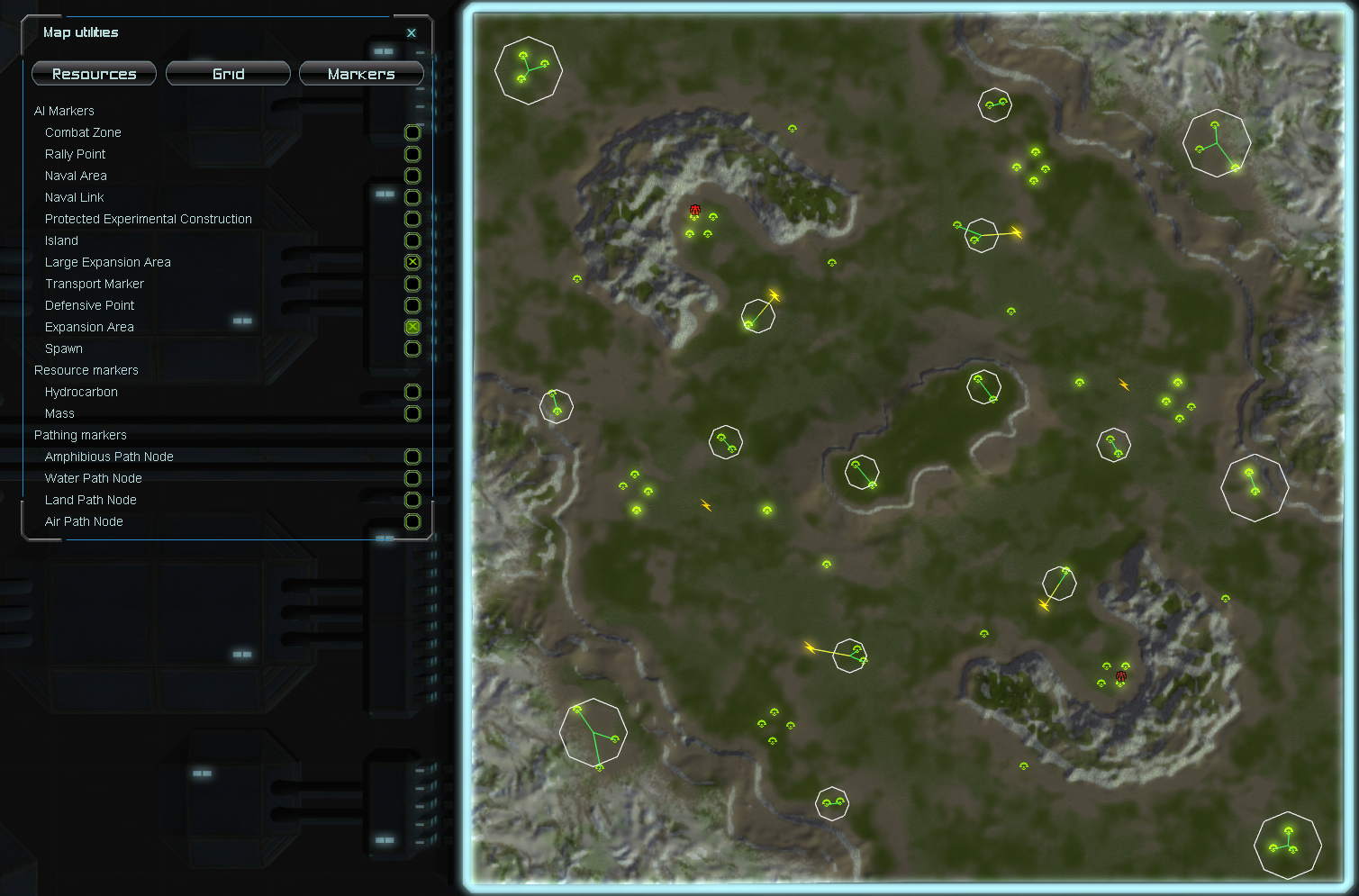
How do I check for the generated expansion markers?
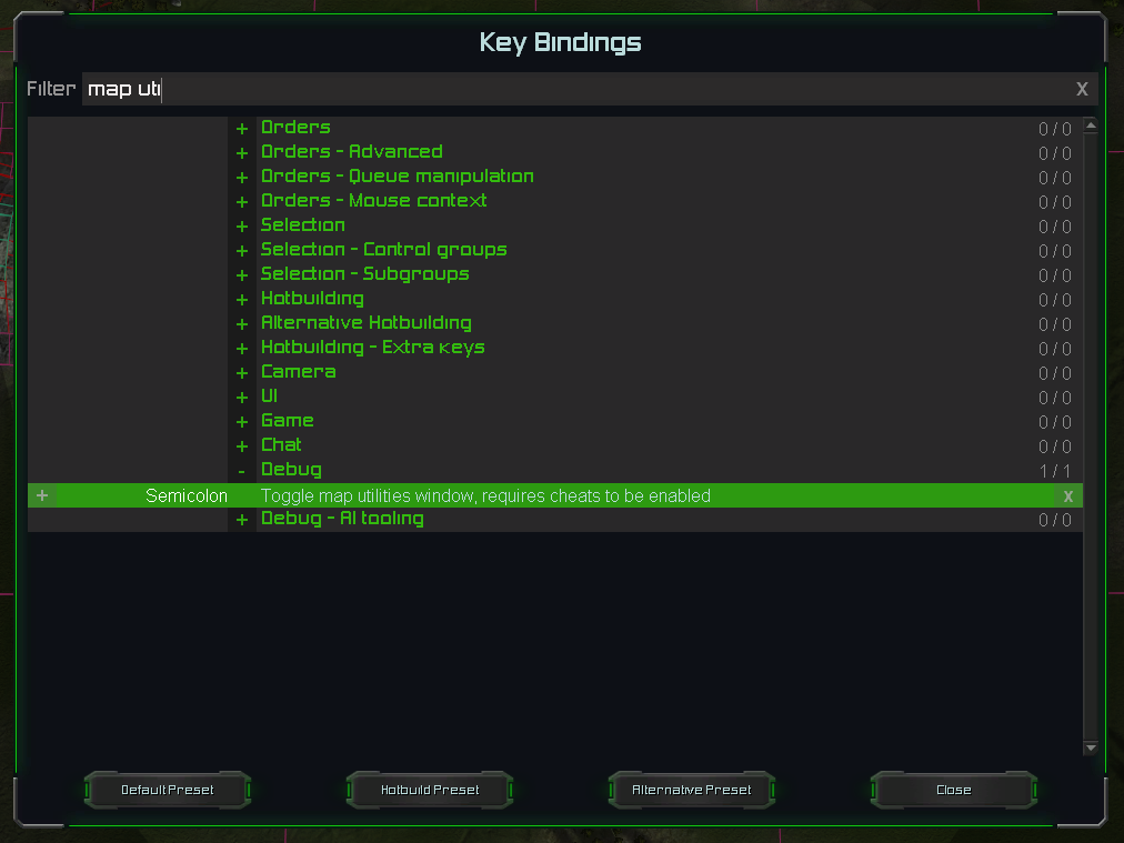
Start a game with the AI adaptive. Start the game. Assign a hotkey to the map utilities window. Open the map utilities window. Navigate to the Markers tab and choose the marker types that you want to visualize.
@thecrimsonknight said in 'Brigadier Fletcher' Mapping tournament:
What do you mean when you say "legacy pathing/AI utility markers?"
The AI markers that you can place in the editor. See also:
-
@thecrimsonknight said in 'Brigadier Fletcher' Mapping tournament:
What defines a "small plateau?" Is it a T1/T2 transport struggling to drop an engie? or is there an actual measurement we can use?
There is no measurement. If transports have problems dropping units off (and after building a single structure, like an extractor or a pgen) then you can assume the plateau is too small. It will make it difficult if not impossible for the AI to understand how to approach it
-
Thank you Jip!
-Crimson
-
After a short discussion surrounding the submission of @TheCrimsonKnight I decided to drop the following AI grading criteria:
Navigational mesh
- Navigational mesh generates in more than 4 seconds
- Navigational mesh is larger than 30 megabytes
These were intended to limit noisy heightmaps. But in practice they also limit the creativity of an author. That would be damaging to the submission. As a result I'm dropping these two grading criteria all together.
Good luck for those that compete
