WorldSet North Pole
6 vs 6 player
20 x 20 km
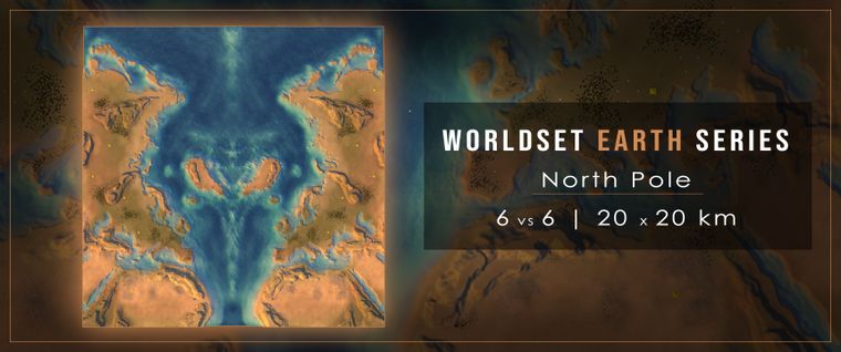
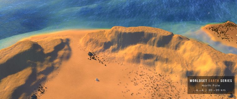
This map is inspired by the Azimuthal projection method. I opened up QGIS, a powerful open source software to work with GIS data. Then I downloaded earth data from naturalearthdata.com and projected the world coastline in the Azimuth equidistand projection. After that I played around in Photoshop to get a good and most important, playable angle. I redrew everything per hand in the FAF Map Editor from @ozonex (best thing ever!). Had a blast playing around with different lightning and soft texture fading. I wanted to have a sunset feel to this map with a smooth salmon colored theme.
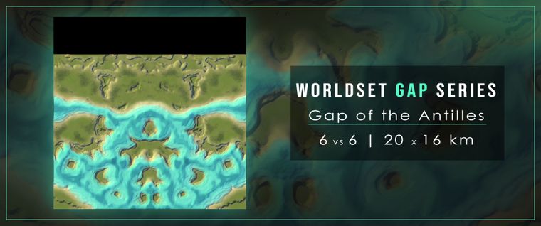
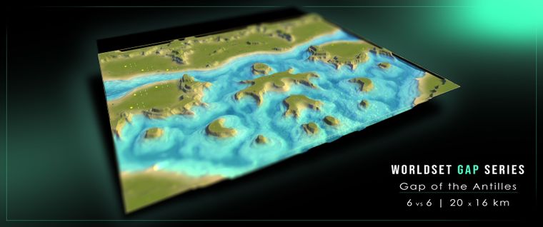
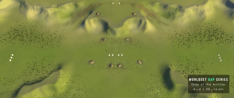
As with most of my maps it's a huge multiplayer map of 20x20 km - mirrored to be as much balanced as it can get. The players spawn in a left-right setting from top to bottom. Nobody can really hide behind other players, everybody is kind of a front player on this map.
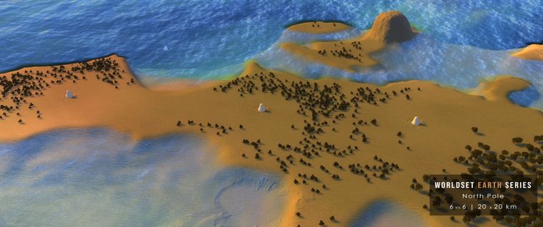
To prevent that everybody rushes mid without an alternative option in hand there is not much reclaim in the middle of the map rather more mexes. After studying a couple replays from good players I reduced the mex count in the middle and now it seems to be balanced. There is a choice now - rush mid and fortify, or stay at home and attack later with a bigger army to prevent your opponents to get back their expansion investments.
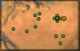
The mex count is inspired from the famous map Setons Clutch. Everybody starts by being surrounded from 4 mexes. Every player has 3 extra expansion zones. Two with 3 mexes coverable with a single T3 shield to prevent simple raids later on and one expansion with also 3 mexes but placed in a line like a pearl string. So in total 13 mexes. The rest are sprinkled around the map.
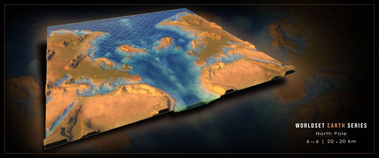
For maximum playability I chose to make the map as flat as possible. My design philosophy demands that if there are mountains they need to serve a purpose for the player not only for aesthetic reasons. In the early versions of this map there even were the Alps but it turned out they changed the playability to the worse so I had to flatten them. Clean, simple, easy for the computer and easy to build structures were my goals. Players should use their brain power more for tactics and strategy rather to think about "where to build this factory or that artillery".
I hope you like it and maybe play it someday. Until now i got only positive feedback even from stronger players but I am always open to constructive critic. There is a player (don't know if he wants to be named here) which pitched me an awesome idea about reclaimable and regrowing ice shields in the arctic circle. Maybe I will come back to it later when I figured how this can be implemented. In the meanwhile, enjoy some of the pictures below.
Europe
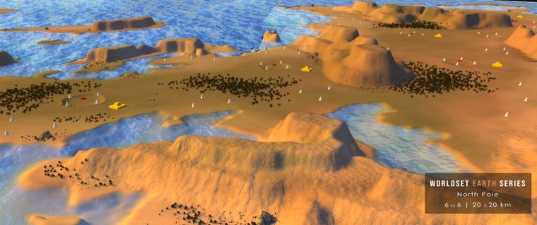
Greece (mirrored)
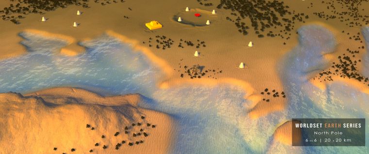
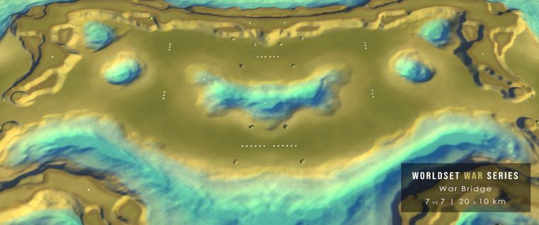
The north-south string of commanders are eying to the middle. The Greenlands are important so dont let your opponents conquer them for free.
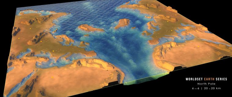
Greenland
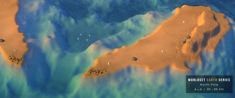
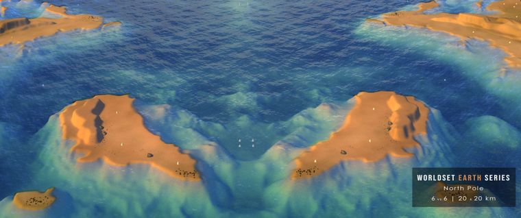
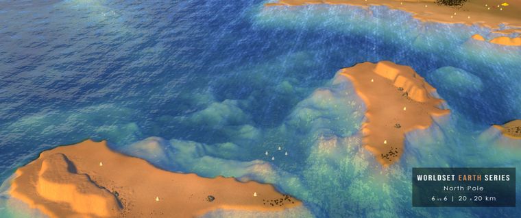
Yuzhny Island and Severny Island (mirrored)
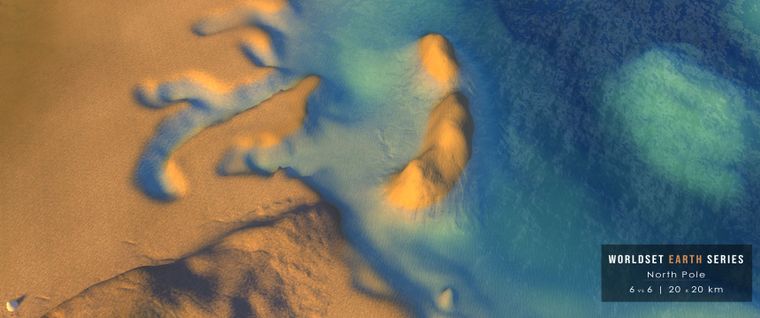
East Siberian Mountains
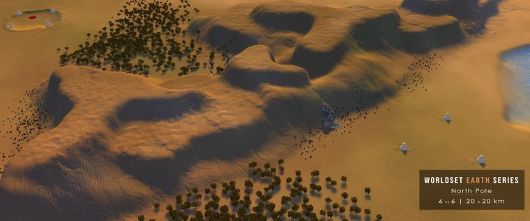
Atlas Mountains
Mapping tools
FAF Map Editor ( @ozonex )
QGIS
Photoshop
Mapping resources
Natural Earth Data
Wikipedia
Google Maps
