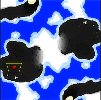
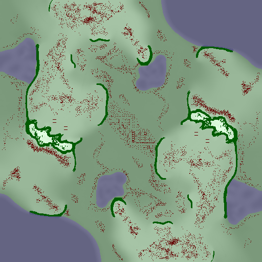
I think the comparison images are unfair because the second image has way more units/structures which obscure the terrain.
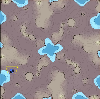
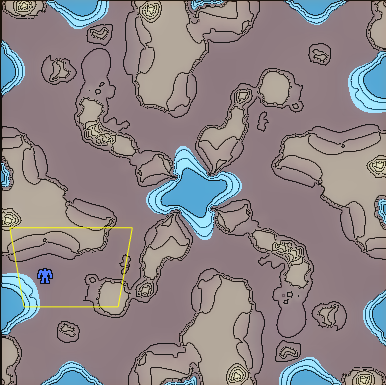
That said, I think I like the mapgen version better. The contour lines on the GPG map are more clear, but elevation isn't important to know. I think the mapgen version makes it more clear which areas are passable by land and which are not, and obviously higher areas are lighter. This is much better.